





Spatial AI
AI Connecting Reality and Digital for New Experiences
Digital Twin

NAVER develops original digital twin technology that replicates city-scale worlds in a digital environment. It integrates proprietary solutions and mapping devices to build digital twin data for large-scale spaces and entire cities.
-
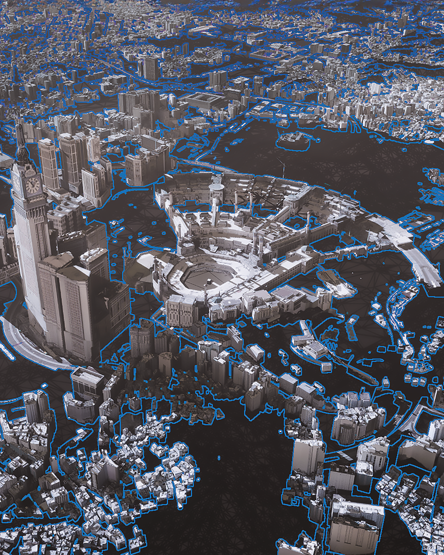
Megacity-scale Digital Twin
NAVER's proprietary digital twin solution, 'ALIKE,' creates 3D models of entire cities. It renders diverse urban spaces quickly and precisely using aerial imagery and AI-based mapping technology. -
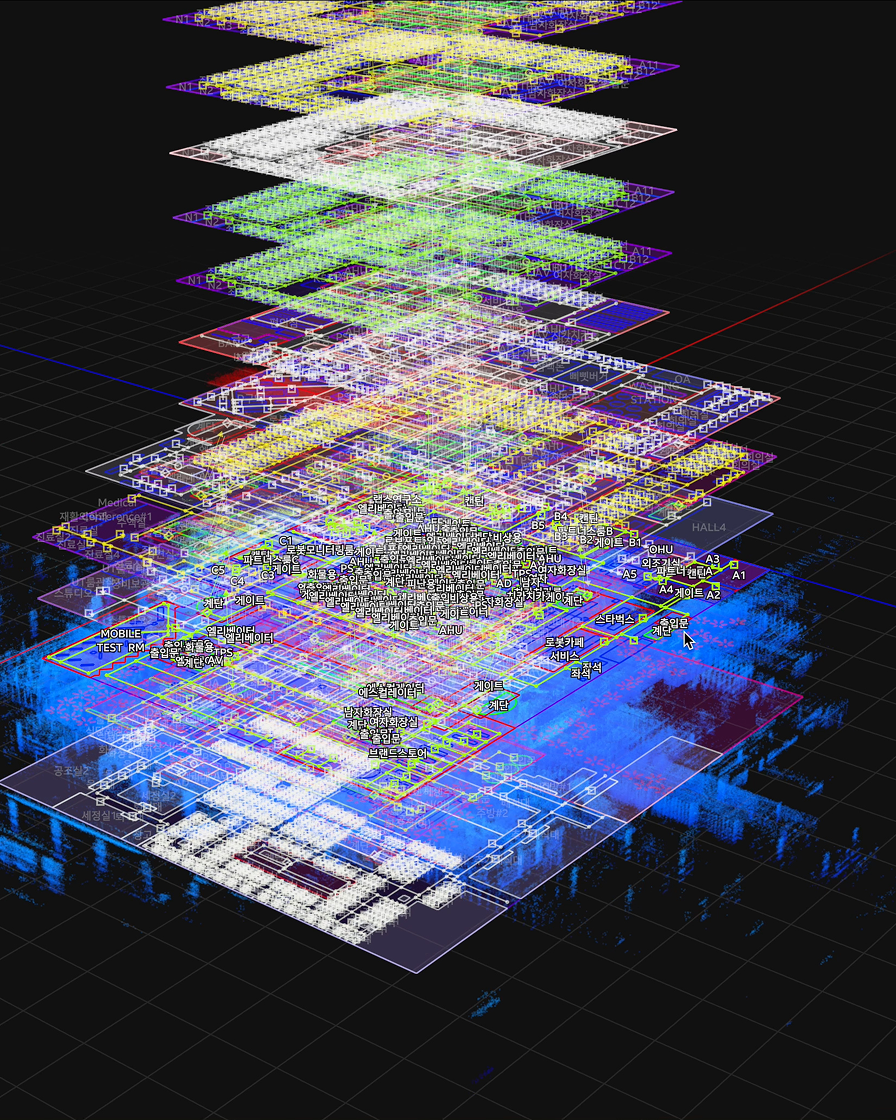
Digital Twin for Smart Buildings
Digital Twin seamlessly connects complex environments, including indoor and outdoor spaces, vertical and horizontal dimensions, and flat surfaces and stairs. The technology is advanced through global reference sites.


3D/HD Mapping Devices

NAVER develops a series of in-house mapping devices that can scan spatial data across various environments and scales. Flexible algorithms and hardware upgrades ensure data quality and recency.
-
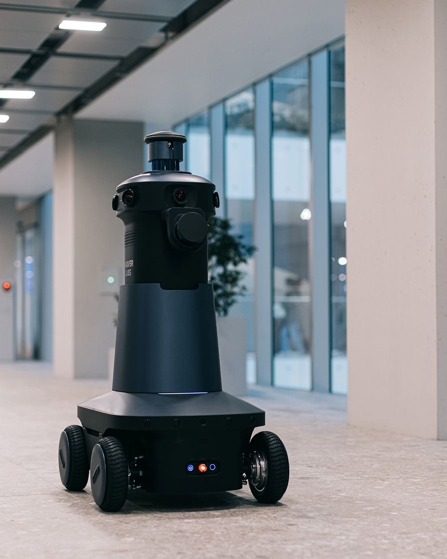
M Series
A 3D high-precision mapping robot uses its unique hardware and sensor configuration to build digital twin data for large-scale indoor spaces with exceptional accuracy and efficiency. -
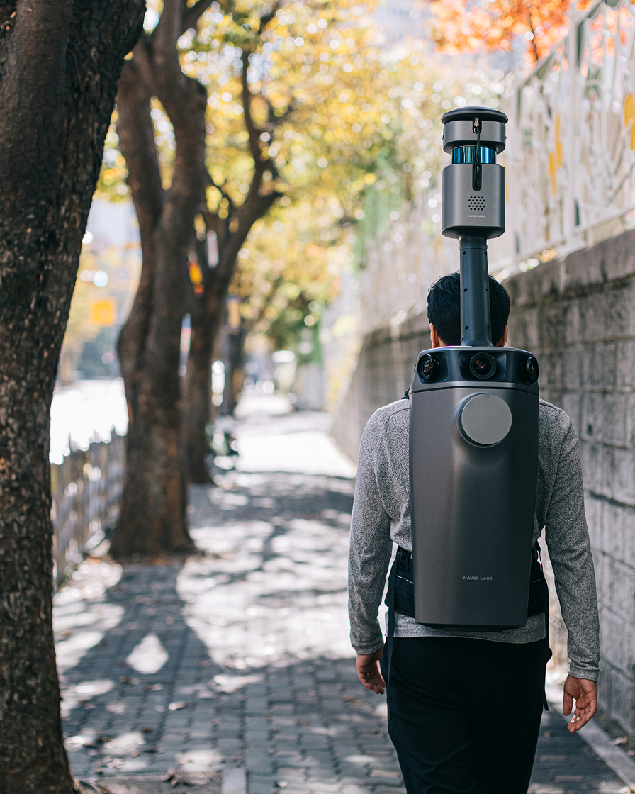
T Series
A wearable mapping device designed to capture complex spaces like staircases. Its excellent scalability effectively bridges data from different environments, from indoors to outdoor walkways. -
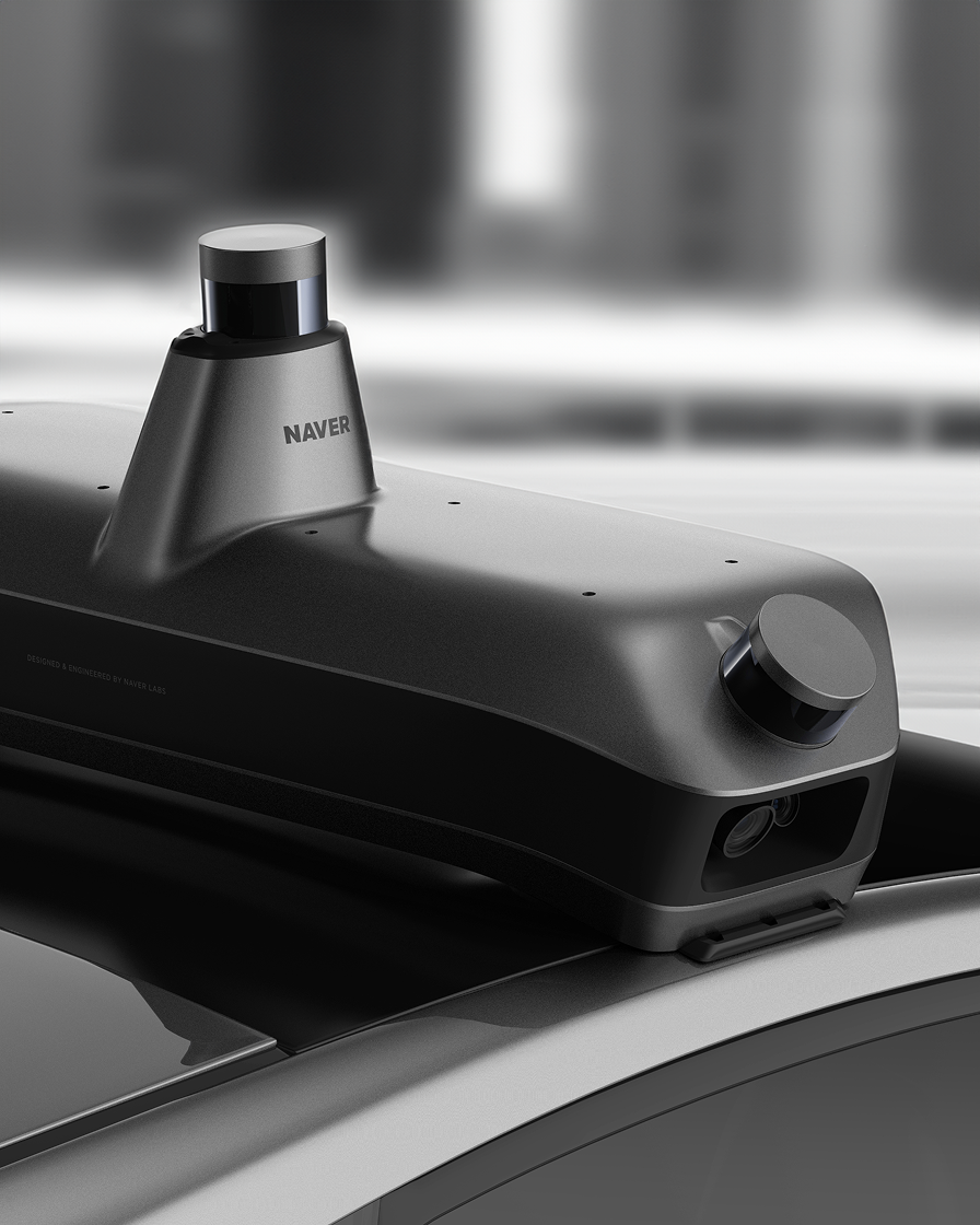
R Series
A vehicle-mounted Mobile Mapping System (MMS) that creates high-definition (HD) maps using 2D and 3D data collected on the road. -
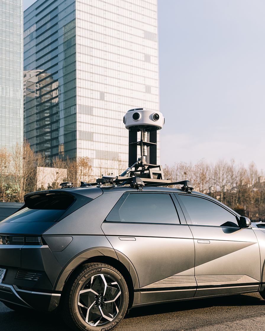
P Series
A panoramic mapping system acquires high-precision spatial data using street view vehicles for building nationwide digital twins.


Vision AI

NAVER researches AI that perceives space like the human eye and adapts quickly to complex situations and changing environments.
-
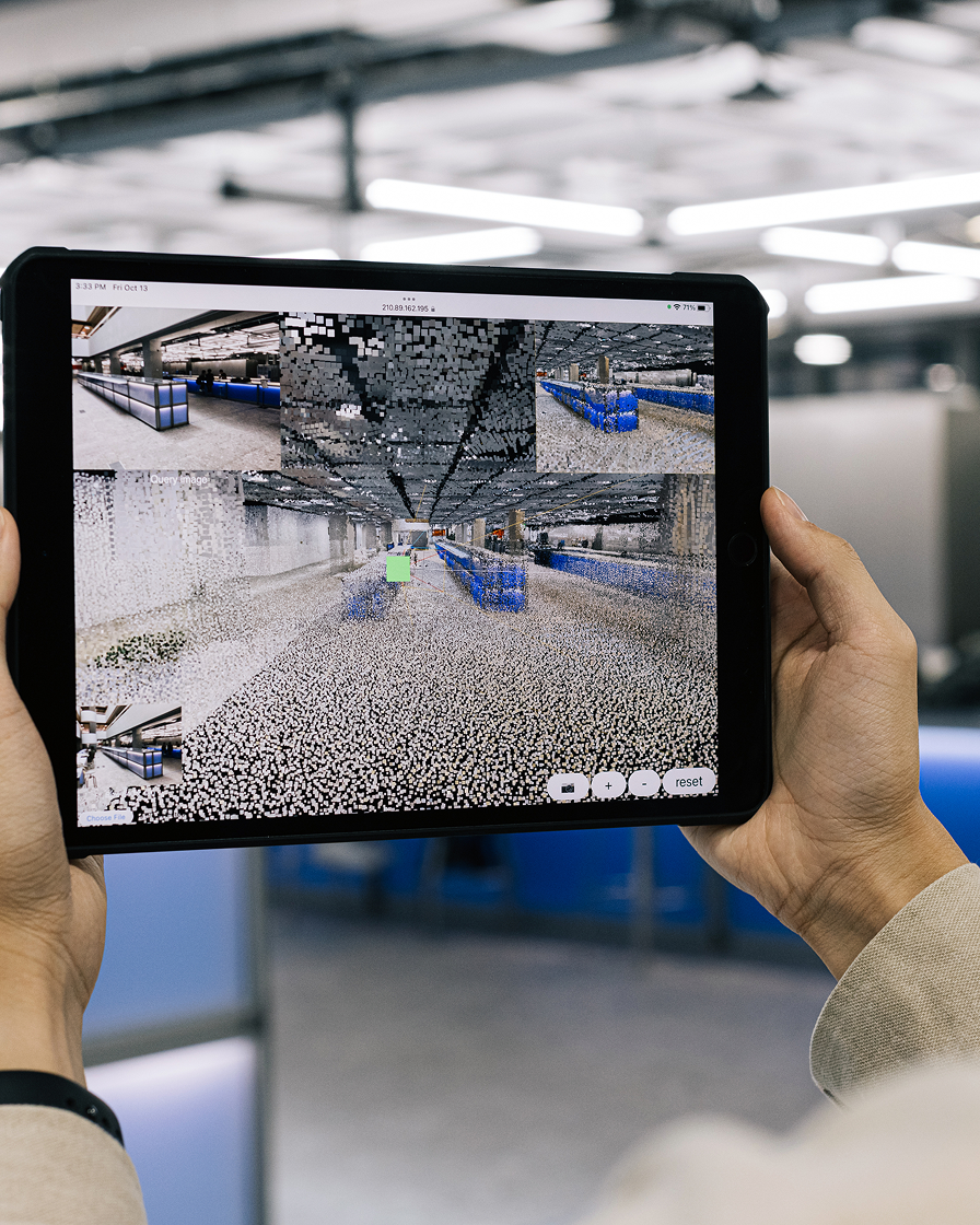
Visual Localization
World-class AI technology that precisely estimates location using digital twin data and computer vision, essential for autonomous vehicles, service robots, and AR/VR/MR. -
DUSt3R
DUSt3R is an AI tool that reconstructs 3D spaces from a single image by estimating camera position, depth, and geometry. It is applied to spatial services such as robotics and AR/VR/MR.

Spatial AI in NAVER Services
-
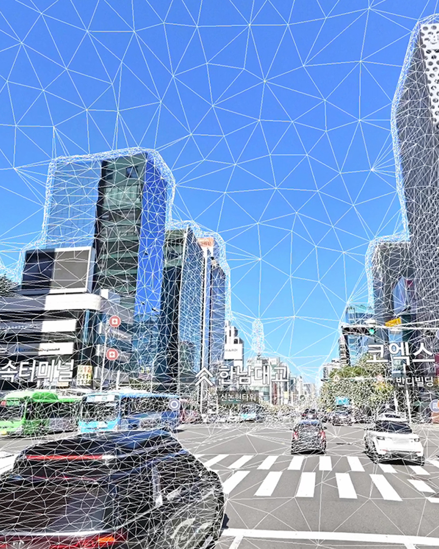
Street View 3D on NAVER Map
Immersive and Intuitive 3D panoramic street view experiences provided through precise, city-scale spatial data. -
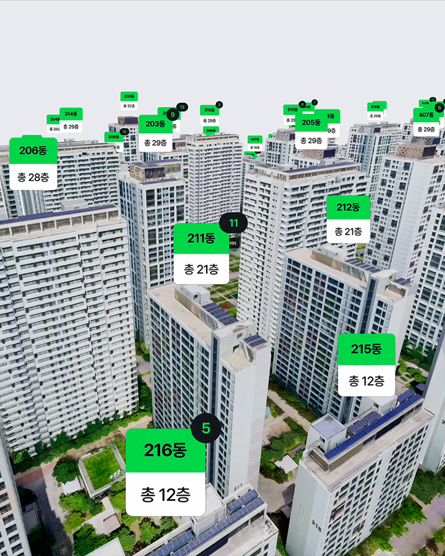
NAVER Real Estate VR Tour
A service that recreates apartment complexes and listings as 3D digital twins. Users can check details like building height, sunlight exposure, floor plans, and interior layout with precision. -
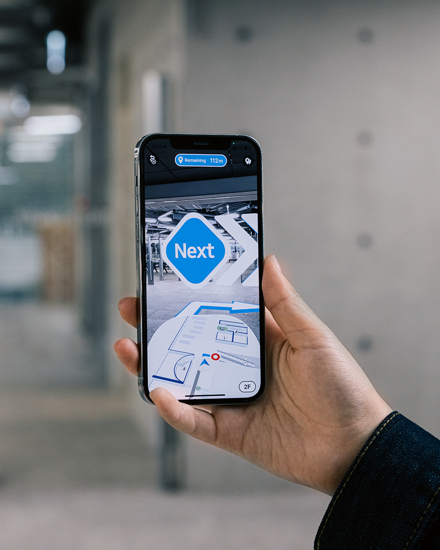
AR Navigation on NAVER Map
Spatial AI technology enables seamless AR navigation indoors, even in areas where GPS is unavailable, for smooth and accurate guidance.To be released


More about Spatial AI by NAVER LABS
Find the latest news and updates about Spatial AI on the official website.